

Guided planning
A workflow to prepare each mission
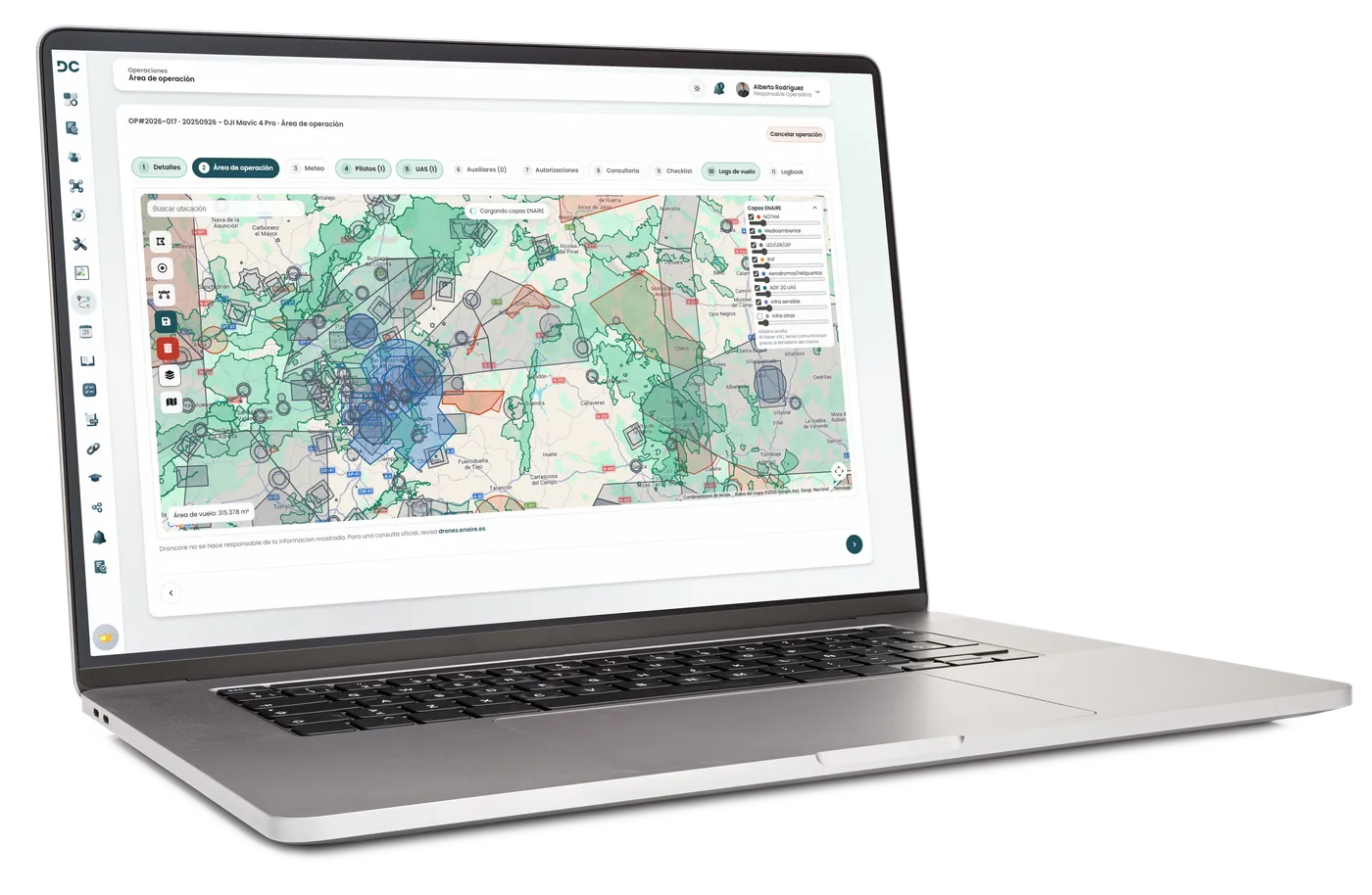
The operation assistant links the zone, pilots, UAS, batteries, checklists, documentation and evidence from a single workflow.
- Flight polygons and visual map planning.
- ENAIRE integration in Spain as the first airspace layer example.
- Recurring predefined zones for repeated operations.
- Operational data connected to pilots, UAS, batteries and documentation.