UAS imagery at the command post
Visible or thermal, live at the forward command post and at headquarters.


Fire services
Eyes in the air, decisions on the ground
Plan, coordinate the incident live and keep every flight on record, from a single platform.
The challenge
The pilot sees the fire front, the hot spot or the casualty. The incident commander needs to see it too, place it on the map and allocate resources with it.
What the pilot sees never reaches the command post.
Describing the front by voice is slow and imprecise.
No shared map with UAS, access routes and water points.
Batteries and UAS rotating with no control of cycles or inspections.
How DRONCORE helps
From preventive services to the incident itself, with the same tool and the same record.
Visible or thermal, live at the forward command post and at headquarters.
Drawn on the map and seen by the whole team, also the pilot on their controller.
Front, perimeter and access routes at once in the video grid.
Power lines, air traffic and mobile coverage over the area.
Cycles and health of every battery, so you know which ones are ready.
Flights, tracks, imagery and participants gathered in one document.
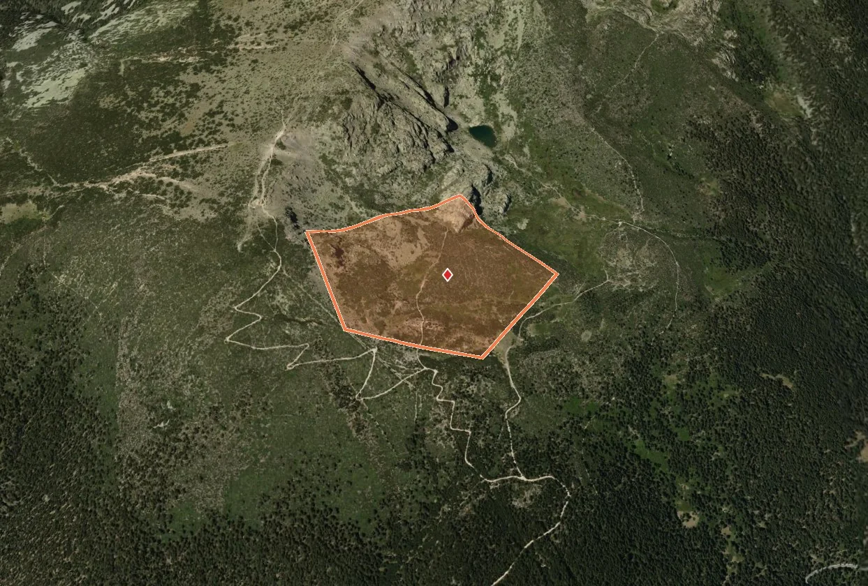
Areas and targets
Mark the point, the perimeter or the search area over the terrain. The pilot sees it on their DJI Pilot 2 screen without leaving the flight.
Command post
The live feed of every UAS, visible or thermal, in a window over the map or in a grid. At the forward command post and at headquarters at the same time.
Scenarios
And also
CENOPS rests on the DRONCORE platform: pilots, fleet, operations, records and documentation, in the same place.
Licences checked against the authority and a verifiable digital ID card.
Learn moreMap-based planning with airspace and ground risk.
Learn moreFrom the controller to DRONCORE with Log Sync or the DJI account.
Learn moreMaintenance by hours and date, battery health.
Learn moreOther sectors
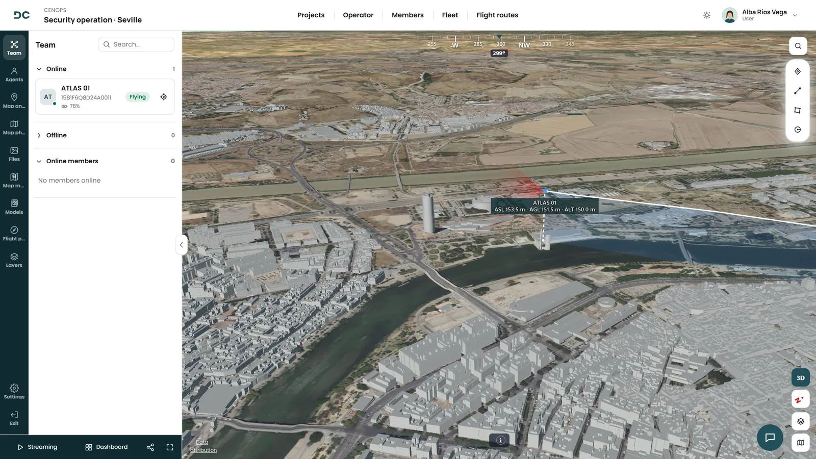
The unit, its fleet and every flight in a single platform, with the operation live for whoever coordinates from the control room.
See solution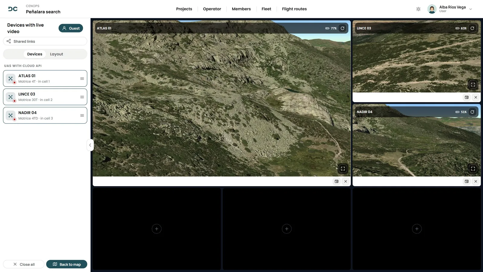
Teams, fleet and flights in a single platform, with everyone on the same map during the incident.
See solution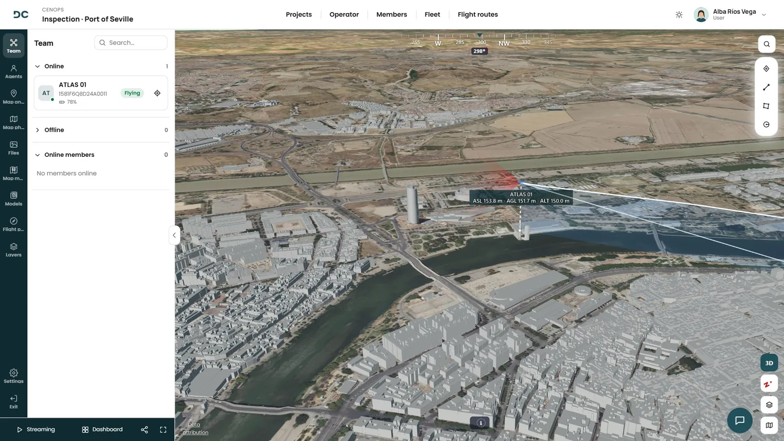
Fleet, pilots, documentation and live flights, in a platform that grows with you: inspection, surveying, surveillance, media or agriculture.
See solutionBook your demo
We will show you the Operations Centre with a case like yours: fire services.